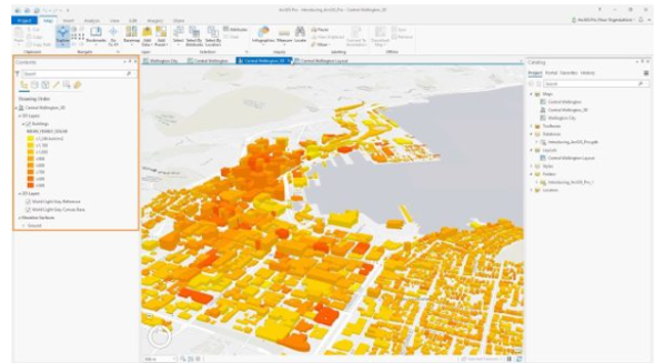
ISPE uses GIS technology for a variety of purposes, including managing
natural resources, urban planning, Mauza digitizing for LAP data
preparation, studying the environment and climate, and creating models
of water flow. We offer services like building and analyzing geospatial
databases, creating elevation models, and developing both desktop and
web-based GIS applications. We can also create web-based Land
Information Systems (LIS) and other web-based GIS tools. Additionally,
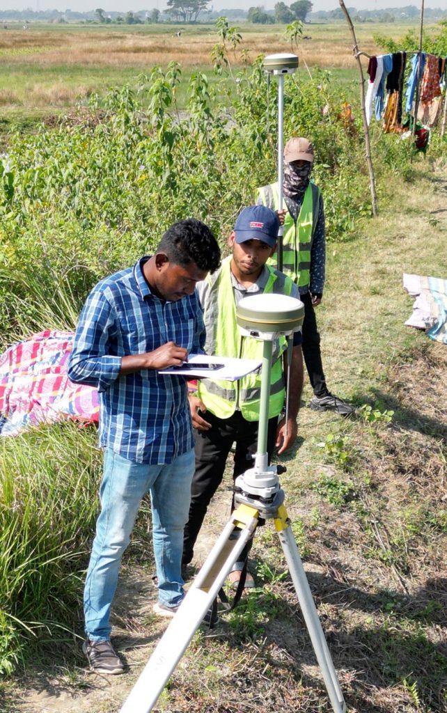
We conduct different types of land surveys using advanced equipment
(UAV survey, RTK, Total Station machine) and offer customized GIS
training programs.
Remote Sensing
ISPE utilizes cutting-edge remote sensing
technology to generate various data and
maps. services include: